Skopje’s Ancient Aqueduct
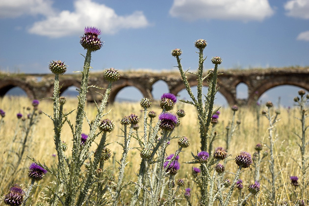
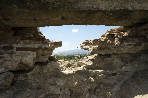
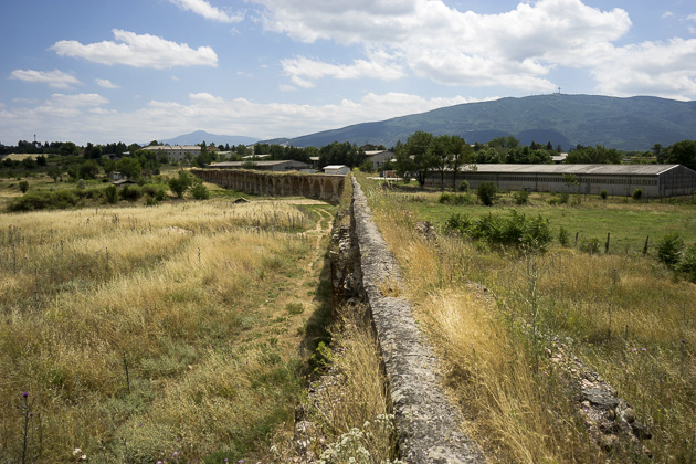
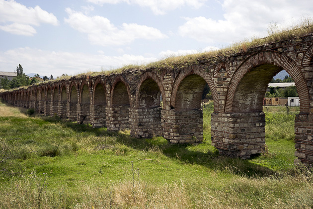
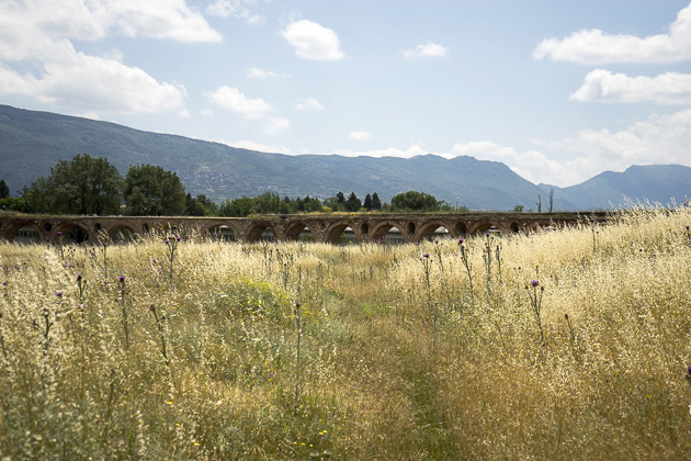
Just outside the city center, north of the Vardar River in a field which borders the barracks of the Macedonian army, is an ancient aqueduct. Its state of preservation is impressive, considering that it’s been neglected for centuries.
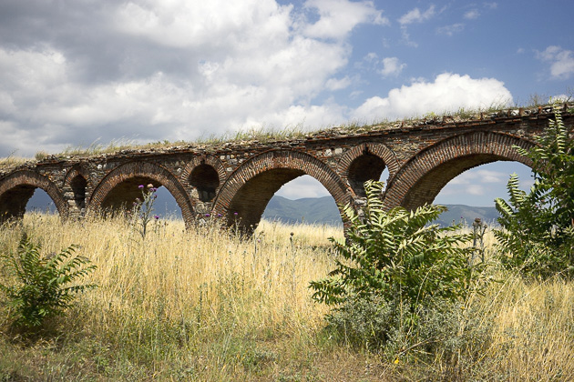
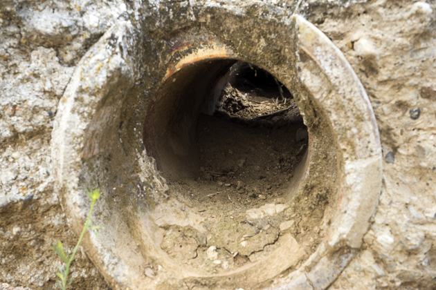
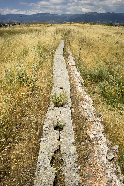
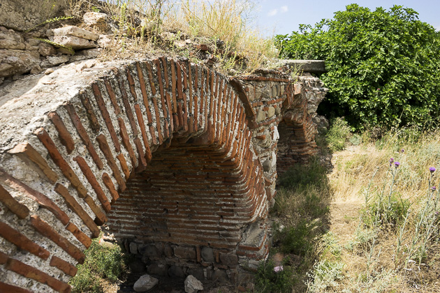
This is the only aqueduct remaining in Macedonia, and one of only three in all of former Yugoslavia. It stretches across a wide, shallow valley for nearly half a kilometer, with a maximum height of 16.5 meters and, although some restorative work was done in the 1880s, it’s mostly original and has remained in excellent condition.
But how long has it been there? Nobody knows. And this a lack of knowledge which, frankly, I find incomprehensible. Macedonia is littered with archaeological sites that haven’t been properly investigated, and Skopje’s aqueduct is one of them. Yes, the struggling country has had more important things on its mind, and archaeology feels like a luxury when money is so tight. But still!
There are a few theories. The one I prefer is that the aqueduct was built by the Romans, who used it to bring water to the settlement of Skupi. This would date it to around AD 100. More likely, however, is that it was constructed during the reign of Byzantine Emperor Justinian I, in the 6th century. The third theory posits that the aqueduct was built in the 1500s, after the arrival of the Turks, to supply water to their new public baths.
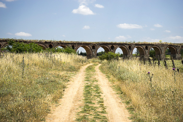
Regardless of who built it, the aqueduct has been left to fend for itself in relative desolation. And part of the reason it’s remained largely intact, is that it’s extremely difficult to find. Despite its proximity to the city, walking to the site is both tiring and hopelessly confusing. No signs point the way. You have to loop around the barracks, walk alongside a busy highway and then follow a rough dirt track through a field. Without the magic of GPS to guide us, we’d never have managed it.
But with GPS, it was kind of like an treasure hunt, and finally locating the aqueduct felt like a real accomplishment. We sat in its shadow, satisfied with ourselves, and took a break from the brutal summer heat. Just as I was ready to nod off for a nap, we were startled by two huge cows passing underneath one of the arches, followed by their farmer who seemed confused by our presence. Not many tourists make it out this way, apparently. And that’s a real shame.



Just returned from visiting this site before seeing your post. You’re right, it is unmarked and you have to do your research on google maps before setting out. Hopefully they will start preserving this site before the point of no return. a large portion of the structure is canting to the south and gravity will cause it to fall over at some point.